


Uncovering JAPA
Can We Blame Highways for Urban Sprawl? It's Not That Simple.
Summary
- The widely held belief that new highways automatically induce significant sprawl is not strongly supported by empirical evidence and warrants case-by-case evaluation.
- A simulation of the proposed Gorham Connector near Portland, Maine, projected only marginal land use change, including a net increase of 14 additional households per year.
- Integrated land use transportation modeling, informed by planner judgment, offers a more systematic and credible method for assessing the complex impacts of transportation investments.
How many times have you heard a planner or a member of the public comment on how new highways cause sprawl? Many accept this claim without further investigation.
In the Viewpoint, "Do Highways Induce Sprawl? Coming to Grips with the Land Use Impacts of Road Projects" (Journal of the American Planning Association, Vol. 91, No. 4), Uri Avin, Rolf Moeckel, Daniel Engelberg, Gerrit-Jan Knaap, and Carlos Llorca set out to find the truth and help planners make better-informed transportation investments.
Rethinking Sprawl Assumptions
A common argument against road projects is that they will induce urban sprawl. But this routine assumption deserves some questioning. It turns out, there is surprisingly limited empirical research confirming this effect. The impact of transport infrastructure on urban growth is widely accepted, yet the magnitude of this impact on residential growth remains largely unknown.
While many Environmental Impact Statements study induced land use effects, these are not typically peer-reviewed or examined after the fact. Practitioner guidance documents responding to these concerns tend to recommend a menu of analytical approaches, and the practitioner is usually left to determine the best approach.
The authors' experience suggests that most transportation investment decisions come down to planner and expert judgment. This approach appears to be the least costly and accommodates multiple perspectives.
Testing for Sprawl
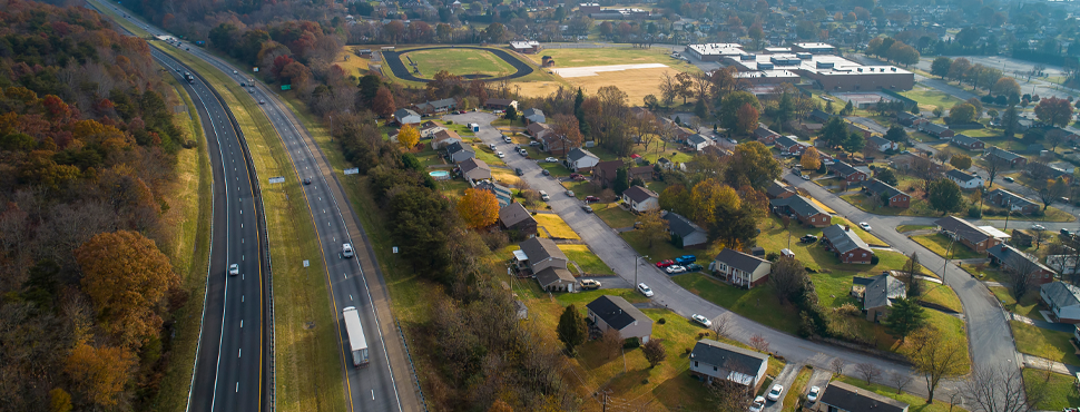
To test the assumption, the study estimates the indirect land use impacts of a proposed new highway near Portland, Maine, using an integrated land use-transportation model. The Gorham Connector is a six-mile, four-lane, tolled highway designed to address safety and congestion concerns.
The regional transport model was linked to an induced land use effects model, the Simple Integrated Land Use Orchestrator. This model simulates development demand from household relocation and demographic transition using variables such as travel time to work and housing costs of vacant dwellings. Local expert knowledge and past trends were used to calibrate and set the relevance of different location factors.
The land use model showed marginal land use shifts in response to the Gorham Connector, with peak-hour travel time savings of up to eight minutes. In the simulation, areas with increased accessibility added two to four additional households per year. The City of Portland showed almost no change.
Across the study area, the simulation yielded a rather low net increase of only 14 additional households per year because of the new Gorham Connector. The authors observed in simulations that the urban sprawl caused by new transport infrastructure varies extensively and may be very small.
While the authors do not claim that their models outperform others, this example supports their argument that nuanced modeling is a credible way to assess induced land use effects. Based on their findings, the authors propose that modeling informed by planner judgment is an increasingly cost-effective way of addressing sprawl in road projects.
Takeaways for practice:
- It is too simplistic to conclude that all transport infrastructure investments always cause sprawl, and land use impacts need to be studied on a case-by-case basis.
- Land use changes do not necessarily correlate with changes to Vehicle Miles Travelled (VMT).
- Integrated land use/transportation models, informed by local expert judgement, can take dimensions into account more systematically to stimulate and estimate impact.
- Integrated land use/transportation modeling can provide more credible and nuanced estimates of costs and benefits of transportation investments.
Top image: Photo by iStock/Getty Images Plus/ Alex Potemkin
ABOUT THE AUTHOR